
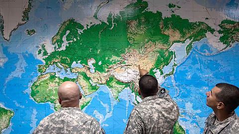

India has drawn a firm diplomatic line regarding international cartography, stressing that any United Nations-backed world map must depict Jammu & Kashmir and Ladakh strictly in accordance with New Delhi's official map. The stance underscores India's unwavering position on its sovereign territory amid ongoing international discussions.
Backing the Resolution While Protecting Sovereignty
The diplomatic position comes in the wake of India backing the UN's equal-area map resolution, as per reports. While supporting the broader international initiative, the Ministry of External Affairs (MEA) made it unequivocally clear that global cartographic representations cannot afford ambiguity regarding India's borders.
According to reports, the MEA asserted that sovereign territory, specifically Jammu & Kashmir and Ladakh, must be portrayed accurately to reflect India's official geographical boundaries. This boundary assertion serves as a direct caution against any inaccurate or misleading depictions that might find their way into international institutional publications.
Strategic and Geopolitical Implications
The government's assertive clarification places regional neighbors, particularly Pakistan. By formally registering its expectations at the international level, New Delhi aims to preempt any diplomatic friction or cartographic discrepancies that international bodies might inadvertently endorse.
India's proactive stance effectively draws a red line after its vote in favor of the UN map resolution, ensuring that multilateral participation is never misconstrued as a compromise on core territorial integrity.